 |
So Many Places To Visit!
|
----------- |

Ecuador Related Articles: |
ECUADOR -- NATURAL AREA -----------------184[ARTICLE] | |||
Lagoon Quilotoa, EcuadorBy Estefanía Muriel for Ruta Pantera on 9/12/2026 10:16:34 AM |
||||
|
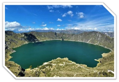
Quilotoa is one of Ecuador’s most spectacular high-altitude landscapes: a water-filled volcanic caldera set at approximately 3,914 meters in the Andes of Cotopaxi Province. The crater was created by a massive eruption and collapse roughly 800 years ago, leaving a basin about 3 kilometers wide that gradually filled with water. Today, the lake can appear emerald, turquoise, blue or almost gray depending on sunlight, clouds and the minerals suspended in its waters. Geological activity has not completely disappeared; fumaroles beneath the lake and thermal activity in the surrounding area are reminders that Quilotoa remains a volcanic landscape. A Lake With A Story Quilotoa is also part of the cultural landscape of the Ecuadorian Andes, surrounded by Indigenous communities whose traditions, agriculture and crafts remain visible throughout the region. The crater itself is located near Zumbahua and forms one of the principal stops on the Quilotoa Loop, a scenic route connecting highland villages, páramo landscapes, canyons and rural communities. Local markets in Zumbahua and nearby towns offer textiles, handicrafts and agricultural products, providing a more direct encounter with the region than a quick stop at the viewpoint. The name Quilotoa is commonly associated with Kichwa, although its exact etymology is debated; popular interpretations connect it with words meaning “tooth” and “princess.” Whatever its linguistic origin, the lake has become one of the most recognizable natural symbols of Ecuador's highlands. |
||||

|
See The Lake From Above — And Below The main viewpoint gives an immediate sense of the caldera’s enormous scale, but walking down toward the water changes the experience completely. The trail from the rim to the lake takes roughly 30–60 minutes depending on pace and conditions, while the climb back can take considerably longer because of the altitude and steep terrain. Horses or mules may sometimes be available locally for the return, although availability and prices vary and travelers should consider animal-welfare conditions before using them. Kayaking on the lake has also been offered seasonally, but services and operating conditions can change with weather and local regulations, so it is worth checking locally rather than assuming equipment will always be available. The complete crater-rim route is much more demanding and can take several hours. It is best suited to travelers accustomed to hiking at altitude and should not be underestimated simply because the distance looks manageable on a map. |
|||
 Add this article to your favorites
[FOR MEMBERS ONLY]
Add this article to your favorites
[FOR MEMBERS ONLY]
Copy this link to send this article to a friend: [FOR MEMBERS ONLY] |
||||

|
The Quilotoa Loop The lake is only part of the journey. The Quilotoa Loop passes through landscapes of high Andean páramo, cultivated valleys and deep volcanic canyons, with villages such as Zumbahua, Chugchilán and Sigchos providing places to eat, sleep and organize hikes. The area around Los Ilinizas is particularly valuable for its combination of páramo and montane forest, while local markets provide opportunities to see Indigenous textiles, food and everyday commerce. For travelers interested in archaeology and history, Malqui-Machay is another possible excursion, although it requires additional transportation and should not be treated as a quick detour from the crater. The region is best explored over several days rather than as a single rushed excursion from Quito. |
|||
| Highland Food And Rural Life Food around Quilotoa is simple, filling Andean cuisine designed for the altitude and cold: soups, potatoes, chochos, mellocos, broad beans, corn and, in some places, guinea pig. Small hostels and family restaurants are generally more useful than looking for sophisticated dining. A basic meal can often be found for around US$4–8, while organized day tours from Quito that include transportation, a guide and lunch commonly cost more depending on the operator and itinerary. Accommodation around the crater and along the Quilotoa Loop ranges from basic hostels and community lodges to more comfortable mountain accommodations. Simple rooms can start around US$15–25, while better-equipped lodges cost considerably more, especially during weekends and high season. Because facilities are rural, travelers should not expect the same range of services available in Quito or larger Ecuadorian cities. |
||||
| Getting There From Quito, Quilotoa is roughly 175–180 km away and normally takes about three to four hours by road, depending on traffic and the route. Public transportation usually involves traveling first to Latacunga, then continuing toward Zumbahua and Quilotoa. A private vehicle or organized tour is considerably easier for travelers who want to combine several stops along the Quilotoa Loop. Local buses and shared transportation connect the principal villages, although schedules can be limited. The entrance to the Quilotoa visitor area has traditionally been free, although individual activities, transportation, parking, food, accommodation and excursions carry separate charges. Travelers should carry cash because rural businesses and services may not accept cards, and there are no convenient ATMs around the crater. Altitude Changes The Rules The most important practical consideration at Quilotoa is not crime but altitude. At nearly 4,000 meters, even travelers who are fit at sea level can become tired or short of breath quickly. Spending time at lower elevations first, walking slowly, drinking water and avoiding overexertion are sensible precautions. Anyone experiencing severe altitude symptoms should stop ascending and seek medical assistance. Weather can change rapidly. The drier period, generally from June through September, often offers better conditions for long hikes and clearer views, while October through May tends to bring more cloud and rainfall, although conditions vary from year to year. Even in the dry season, mornings can be cold and windy. Warm layers, waterproof clothing, sun protection, sturdy footwear and enough water are essential. How Much Time? A day trip from Quito is enough to see the crater and walk part of the trail, but one or two nights in the region make much more sense for travelers who want to experience the Quilotoa Loop. Staying locally allows time for the crater rim, nearby communities, markets and longer hikes without spending most of the day in transportation. Quilotoa is ultimately less about checking off a viewpoint than understanding the landscape around it. The enormous caldera, the changing color of the lake, the high-altitude silence and the Indigenous communities that continue to farm and live among these mountains make it one of Ecuador’s most memorable encounters with the Andes. |
||||
| --rutapanter.com-- | ||
|
References: Ministerio de Turismo de Ecuador. Quilotoa and the Quilotoa Loop. Gobierno Autónomo Descentralizado de la Provincia de Cotopaxi. Quilotoa and Andean tourism. Instituto Geofísico, Escuela Politécnica Nacional. Volcanic activity and geology of Ecuador. Ministerio del Ambiente, Agua y Transición Ecológica. Reserva Ecológica Los Ilinizas. UNESCO. Andean cultural landscapes and Ecuadorian heritage.
| |
|
| Instagram: | Email contact: | Interest area: |

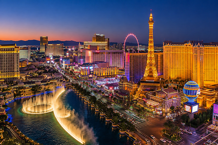
Las Vegas, Nevada, USA
Las Vegas is a city built around spectacle, imagination, and constant reinvention. Rising from the Mojave Desert in southern Nevada, it has transformed from a railroad [read more.]
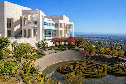
The Getty Center, Los Angeles, California, USA
Perched high in the Santa Monica Mountains above Los Angeles, the Getty Center is much more than a museum. Designed by American architect Richard Meier and opened in 19 [read more.]
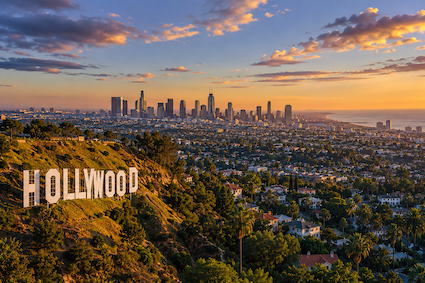
Los Angeles, California, USA
Los Angeles is a city built on movement, creativity, and reinvention. Stretching from the Santa Monica Mountains to the Pacific Ocean, it combines the glamour of Hollyw [read more.]
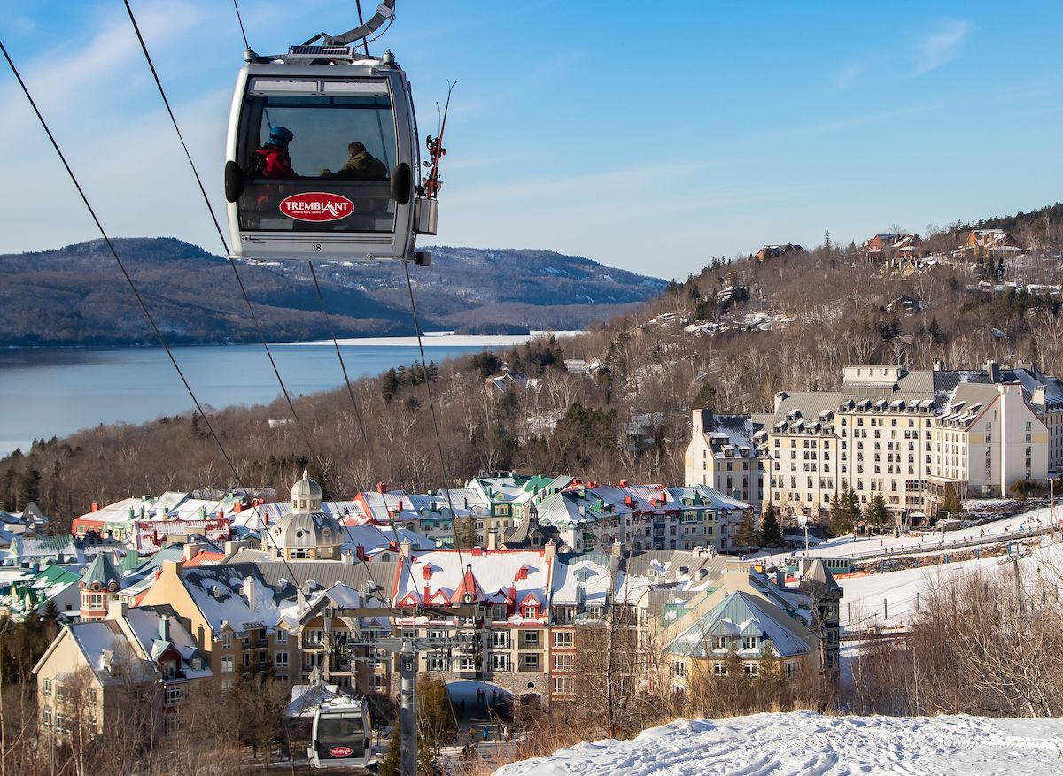
Mont-Tremblant, Canada
Mont-Tremblant, in the province of Quebec, Canada, is a city located in the Laurentian Mountains, about 125 kilometers from Montreal. Although sometimes informally refe [read more.]
To see more Waypoints in North America, please become a member here.
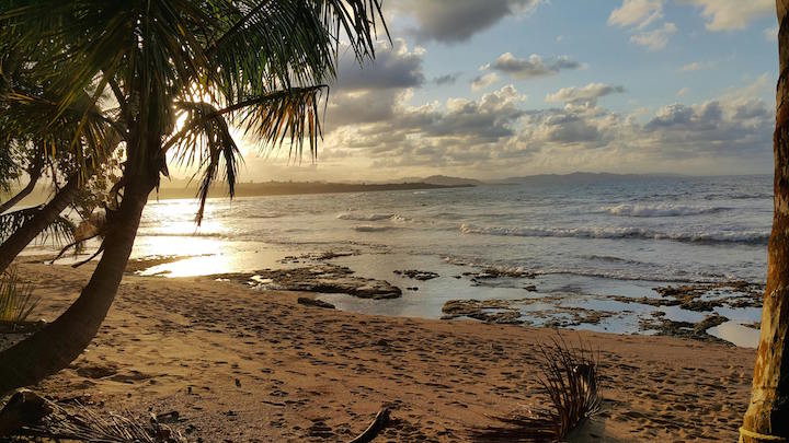
Costa Rica, Lemon
Limón, officially Puerto Limón, is Costa Rica's Caribbean gateway and a city whose identity was shaped as much by migration as by the sea. Christopher Columbus arri [read more.]
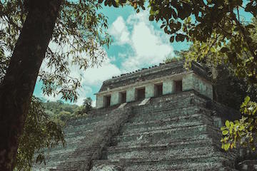
Palenque, Mexico
Palenque is one of the most remarkable places in the Maya world, where monumental architecture, rainforest and the history of a powerful ancient dynasty come together. [read more.]
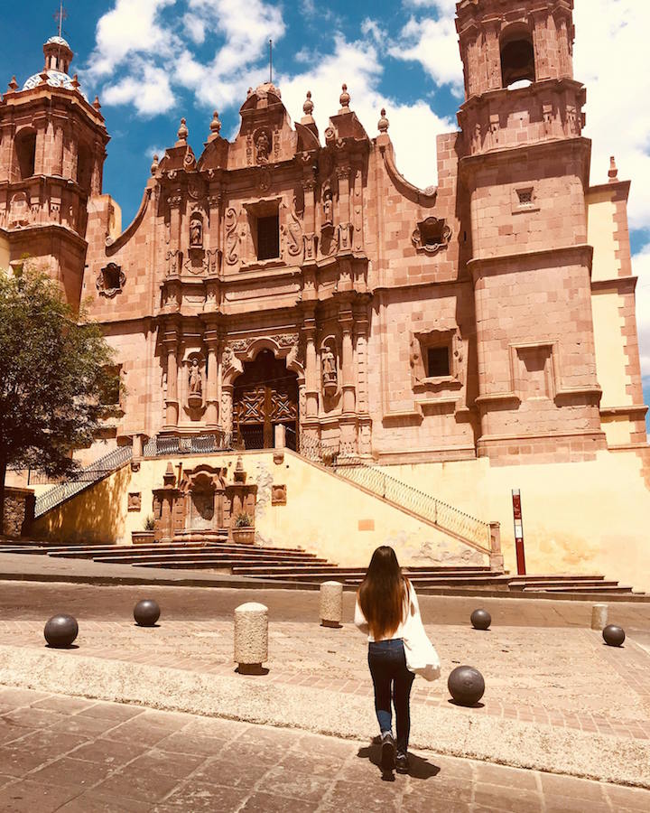
Zacatecas, Mexico
Zacatecas rose from the discovery of rich silver deposits in 1546 to become one of the most prosperous mining centers of New Spain. Built across the steep slopes of a n [read more.]
Guatemala City
Guatemala City sits in the highlands at more than 1,400 meters above sea level, surrounded by volcanoes and built over a landscape that has been inhabited for centuries [read more.]
To see more Waypoints in Central America, please become a member here.
Lagoon Quilotoa, Ecuador
Quilotoa is one of Ecuador’s most spectacular high-altitude landscapes: a water-filled volcanic caldera set at approximately 3,914 meters in the Andes of Cotopaxi Pro [read more.]
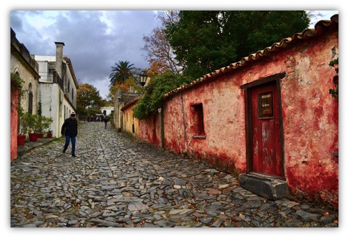
Sacramento Colony, Uruguay.
Colonia del Sacramento is one of Uruguay’s most atmospheric destinations, a small city on the Río de la Plata where Portuguese and Spanish history survives in street [read more.]
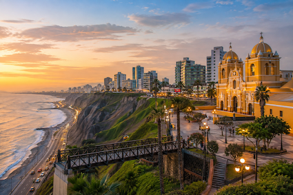
Lima, Perú
Lima is a city where Peru's ancient civilizations, colonial history, Pacific coastline, and contemporary creativity converge. Set along dramatic coastal cliffs overlo [read more.]
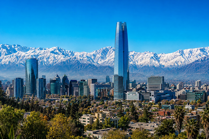
Santiago, Chile
Santiago is a city defined by contrasts: a sophisticated modern capital surrounded by the dramatic peaks of the Andes, a historic center shaped by centuries of Chilean [read more.]
To see more Waypoints in South America, please become a member here.
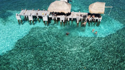
Isla Mujeres, México
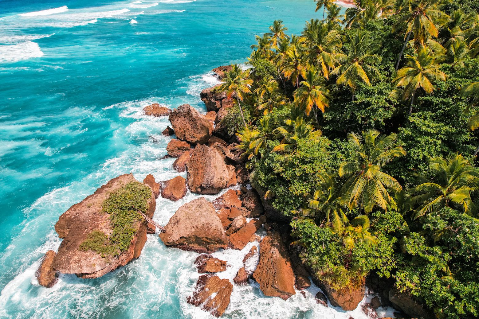
Dominica, Caribbean
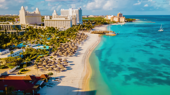
The Bahamas
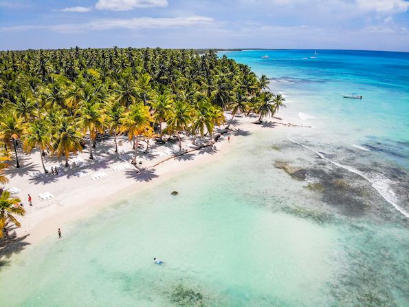
Dominican Republic
To see more Waypoints in The Caribbean, please become a member here.

|
Waypoint Finder (Over 1,000 destinations in PanAmerica) |
|---|

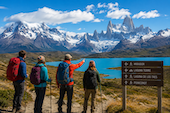
Nature
Tours that connect us with nature.
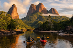
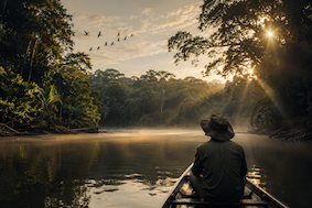
Explore the Tambopata Amazon Reserve
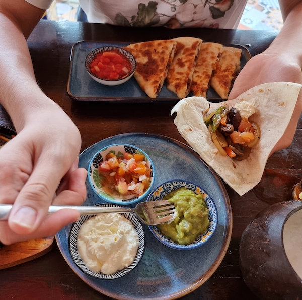
Food & Culture
What's coming up of interest to tourism specialists in Pan America.
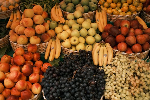
Real City Tours – Exotic Fruits Tour in Medellín, Colombia
Oaxaca Food & Culture Tour – A Culinary Journey Through Mexico’s Indigenous Flavors
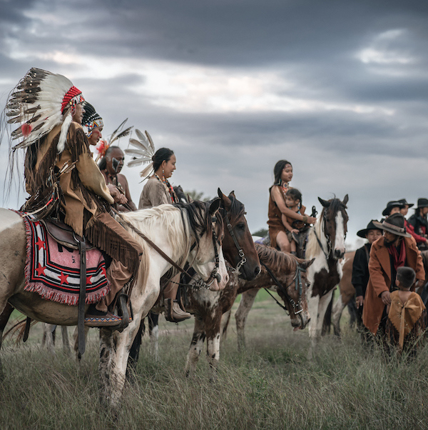
Indigenous Tours
Fashion, romance and wellness for travelers seeking confidence and style.
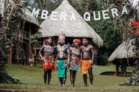
Experience the Emberá of the Darién – On the Only Expedition Operated by An Indigenous Community
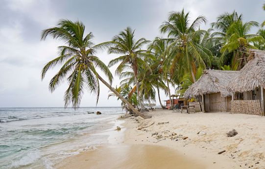
Indigenous Cultural Tour Guna Yala – Discover the Exotic San Blas Islands
Indigenous Canada Tour – Explore First Nations, Inuit And Métis Cultures
Outdoor Sports
Fashion, romance and wellness for travelers seeking confidence and style.
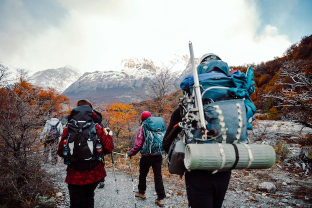
North Patagonia Ice Field Expedition Tour In Chile